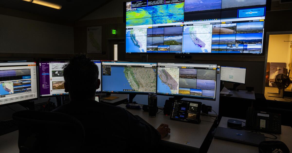
Amid an outbreak of recent wildfires in California, Google announced a commitment to spend $13 million to improve satellite imaging to help track and detect wildfires, starting as early as next year.FireSat, a constellation of more than 50 satellites, will be able to detect wildfires as small as the size of a classroom, about 16 by 16 feet, and the first satellite will launch in early 2025, the media giant announced Monday. Firefighting authorities currently rely on satellite imagery that detects wildfires but only when they reach about the size of a football field, or more than an acre.“We realized that if we can pair satellites with machine learning and artificial intelligence, it was the perfect platform to generate real-time operational intelligence on fires,” Christopher Van Arsdale, who leads the Google Research Climate & Energy group and is chairman of the Earth Fire Alliance, said in a video announcement.The initiative is being led by the Earth Fire Alliance, a nonprofit that was launched in May to create FireSat and develop wildfire datasets, with funding from Google and the Gordon and Betty Moore Foundation.Satellite images currently might confuse clouds or a smokestack for fires, Van Arsdale said. Using machine learning, a team at Google built a camera that optimized the technology for fire detection, and the team tested it over controlled burn areas.The constellation of satellites will be able to provide updated satellite imagery to firefighters every 20 minutes to help them put out fires before they become large and destructive. “In addition to supporting emergency response efforts, FireSat’s data will be used to create a global historical record of fire spread, helping Google and scientists to better model and understand wildfire behavior and spread,” the company said. Google said the project is part of the company’s effort to help communities address the effects of climate change.California officials already have moved toward using AI to better track wildfires. The California Department of Forestry and Fire Protection partnered with UC San Diego to develop a new AI pilot project that maintains 1,039 high-definition cameras on towers and mountain peaks throughout the state to keep an eye out for smoke and other anomalies and alerts Cal Fire.Jason Forthhofer, a research mechanical engineer with the U.S. Forest Service, said the FireSat project also will help to collect data to better train firefighters on how to interact with wildfires and understand how they are affected by changing conditions.“We’ll be able to teach firefighters what dryness does to a fire, or wind, or a change in fuel type, because we have seen so many firefighters die on fires when they don’t anticipate what the fire’s going to do,” he said.Southern California is enduring an extremely active wildfire season, with three fast-moving blazes burning more than 100,000 acres and forcing thousands to evacuate as well as destroying dozens of structures.


