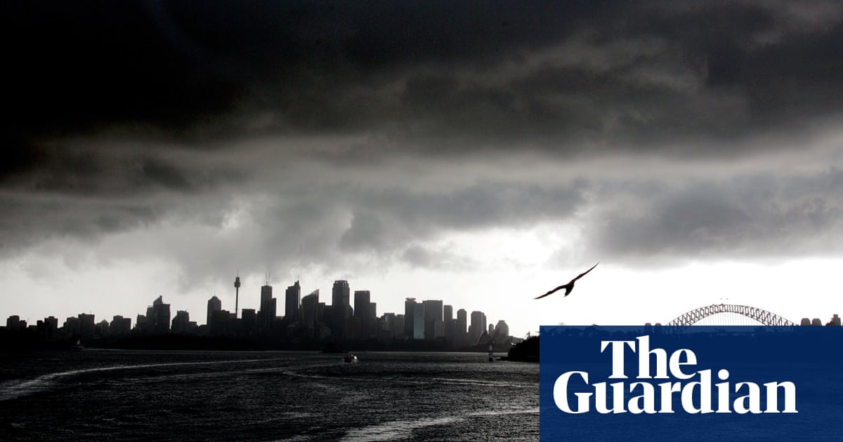
Severe thunderstorms are forecast to strike Sydney on Friday about the same time King Charles’s flight touches down, as a cold front packing high winds and giant hail tracks east across the country.King Charles and Queen Camilla are scheduled to arrive just after 7pm, and they can expect wild weather in Australia.The Bureau of Meteorology’s Miriam Bradbury said thunderstorms would bring damaging wind gusts and large hail to the south-east on Friday, with winds up to 125 km/h and giant hail measuring five centimetres or more in diameter.Overnight, large parts of the country were hit with severe thunderstorms, including South Australia, southern parts of the Northern Territory, inland NSW and north-west Victoria. Weatherzone recorded more than 200,000 lightning strikes.South Australia bore the brunt of the storms.Port Pirie in SA was hit with winds up to 137 km/h, while Roxby Downs and Tarcoola observed winds of 113 km/h. Mount Horrocks was lashed with 36mm of rainfall in just one hour.Severe Thunderstorm WarningDAMAGING, LOCALLY DESTRUCTIVE WINDS and LARGE HAILSTONESFor people in Eastern Eyre Peninsula, Flinders and parts of Yorke Peninsula, Mid North, Northwest Pastoral, Northeast Pastoral and West Coast districts.Issued at 6:07 pm Thursday, 17 October #SA pic.twitter.com/bNESYKQvKR— Bureau of Meteorology, South Australia (@BOM_SA) October 17, 2024Bradbury said on Friday the cold front and low pressure system would move across the south-east, with “warm, humid, windy weather” increasing through the day.“The risk of thunderstorms will be widespread in the east, from southern Queensland through NSW, Victoria and into northern Tasmania,” she said.“Severe thunderstorms – bringing the risk of damaging winds, large hail and heavy rain – are possible today, as the front moves through across inland New South Wales, and much of Victoria, including Melbourne.”Storms were most likely across central and south-west slopes in NSW and Victoria’s north east, with destructive wind gusts in excess of 125 km/h possible.“We might also see giant sized hail or intense rainfall along the east coast,” Bradbury said. “For locations including Sydney, the Illawarra and the Hunter, thunderstorms are possible today, but at this stage, they’re not expected to become severe for Canberra and Melbourne.”Bradbury said the storms may lead to downed trees, power outages, localised flash flooding and property damage.A marine wind warning was in place for every state and territory bar the ACT and the NT on Friday. She said a severe weather warning for widespread damaging wind gusts up to 90 km/h was in place for the central and eastern ranges of Victoria, including outer northern suburbs of Melbourne.Severe Weather Warning for DAMAGING WINDS, For people in parts of Central, East Gippsland, North Central, North East, West and South Gippsland, South West and Wimmera Forecast Districts.Issued at 4:45 pm Thursday, 17 October 2024. #Vic #Victoria pic.twitter.com/3s6a4IpOks— Bureau of Meteorology, Victoria (@BOM_Vic) October 17, 2024The Bureau projected winds would ease from Victoria’s west during Friday morning and clear to the east in the afternoon, with separate severe thunderstorm warnings expected to be issued throughout the day.Minor river rises through parts of Tasmania and Victoria were expected because of forecast rainfall. Flood warnings are possible over the coming days, the BoM said.Bradbury said overnight the front would move off the east coast and take the bulk of severe weather offshore.“Southern Victoria, Tasmania and eastern New South Wales will see easing showers during Saturday with gusty southerly winds at times, it will be a little cool through southern Victoria, but it will remain mild elsewhere,” Bradbury said.“There is a slight chance of a thunderstorm through north-east NSW and south-east Queensland, but these are not expected to bring a lot of rain or become severe.”Easing conditions would continue through the weekend. Sunday should be mostly dry and partly cloudy to sunny day across the east and south- east.


